Survey price ranges in Alvin
An ALTA/NSPS land title survey for a commercial parcel costs $2,000 to $8,000. A FEMA elevation certificate costs $350 to $750 per certificate.
These are separate services with separate price ranges. When you contact us, tell us which service you are requesting. If you need a residential boundary survey, ask us for a quote rather than using either of these ranges as an estimate for your lot.
What our boundary work includes
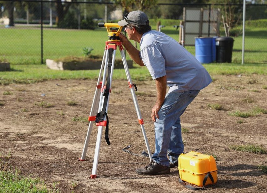
We use pin finders and metal detectors to search for original corner markers. We measure the parcel with GNSS and a total station, tied to the state plane coordinate system.
We compute the boundary against the deed calls and resolve any gaps, overlaps, or conflicts. Where original corner markers are missing, we set and stamp new markers, then flag them so they are visible. The work includes both locating the boundary and marking missing corners, not just placing flags.
Check Alvin's plat and code requirements before construction
For a lot in an unplatted subdivision, Alvin requires an approved final plat before the city issues building permits for construction or repair. Getting the corners marked does not replace that approval. If your survey request is connected to work on such a lot, check the plat approval status before planning around a building permit.
Alvin has adopted the 2024 International Codes in its buildings ordinance. We recommend checking the city's adopted text and amendments before relying on an older code edition for your project.
From First Call to Final Results
-
Reach Out
Tell us about the property and what the work is for, you'll get a straight answer, not a sales pitch.
-
We Look Into It
We start with what's on record, so the fieldwork answers the question you actually have.
-
Clear, Written Price
You get the scope and the price in writing before any work starts. No surprises.
-
We Do the Work
We do the fieldwork carefully, then deliver the results in writing and walk you through them.
Depending on what we find, that can mean:
- Recovering the original monuments, the iron pins, stones, or nails that mark the corners of record
- Measuring the parcel with GNSS and a total station, tied to the state plane coordinate system
What It Typically Costs
$500–$1500
$500–$1200
You Might Also Need
Our Service Area
We cover Alvin, TX. Call (346) 603-6350 to confirm coverage for your address.
What We Commit To
Updated October 2026