What we record for your design team
We locate trees, structures, drainage, and utilities for the design team.
Where Brazoria, Tinn, Trinity, Kaufman, or Pledger soils occur, the clayey ground has high shrink-swell potential. Changing moisture can move the ground around slabs and other improvements. Seasonal storms and heavy rain also raise the risk of water intrusion and wind damage. The survey records existing site conditions; it does not replace the engineer’s design work.
How we measure the site
We use GNSS RTK rovers for elevation and feature shots on open ground. Under tree canopy where GPS will not hold, we use a robotic total station to capture the detail.
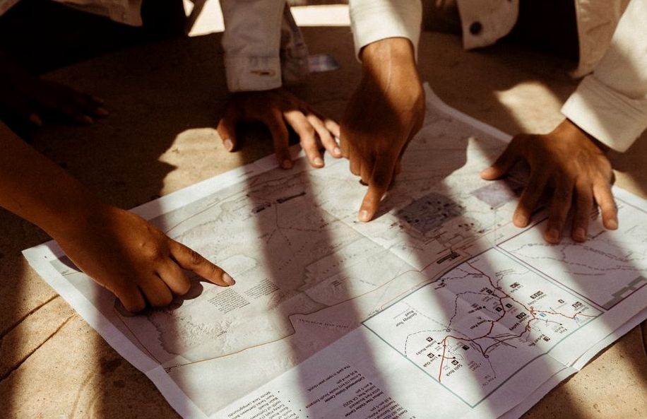
Topographic mapping is not subdivision approval
If you are subdividing land in Alvin or its extraterritorial jurisdiction, the city’s rules require a preliminary and final plat or an abbreviated plat, as applicable. A topographic map does not replace those plats.
For a lot in an unplatted subdivision, the final plat must be approved before the city issues building permits for construction or repair. Do not treat completion of the topographic survey as permission to begin building.
Residential topographic survey cost
A topographic survey for a residential lot costs $700 to $1,800. Tell us what your engineer or architect needs when you request the survey so we can discuss the scope of the work.
From First Call to Final Results
-
Reach Out
Tell us about the property and what the work is for, you'll get a straight answer, not a sales pitch.
-
We Look Into It
We start with what's on record, so the fieldwork answers the question you actually have.
-
Clear, Written Price
You get the scope and the price in writing before any work starts. No surprises.
-
We Do the Work
We do the fieldwork carefully, then deliver the results in writing and walk you through them.
Depending on what we find, that can mean:
- Setting vertical and horizontal control across the site
- Collecting ground shots, breaklines, and every visible feature and utility
What It Typically Costs
$500–$1500
You Might Also Need
Our Service Area
We cover Alvin, TX. Call (346) 603-6350 to confirm coverage for your address.